

Backpacking Crabtree Falls to Spy Rock
You'll have to read about my personal mental victories first, though.

Note: This trip took place in April 2023. I have no idea why it took me to July 2024 to publish it.
Halfway through our 7-mile backpacking day, we stood at a crossroads. This is not a metaphor. There was a literal road crossing and we had to choose to go left or right.
Casual help. This is one of my favorite things about backpacking with other people. I had a printed map in my pack that would help us decide which way to go. I could take the pack off, or I could just present my back to Shawn, my hiking partner, and say “hey, can you get my map?”
This may not seem like much, but to me, who does most of my daily survival tasks completely solo, it’s something. It’s also hard to remember to do. More on that later. But in this case, Shawn dug the map out of my pack, we consulted it, made a plan, and proceeded apace.
Shawn and I started hiking together, in earnest, in 2016, and in those days, the difference between our skill and experience levels was glaringly obvious, so much so that I often wonder why he still hikes with me. :) One hike in particular sums it all up.
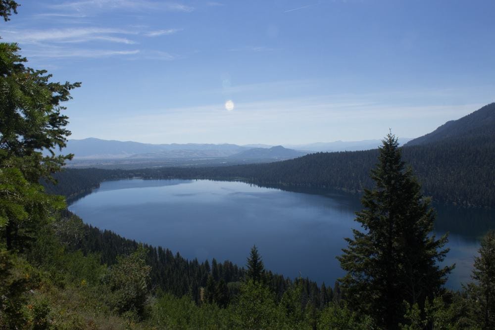
Phelps Lake Overlook (above) to Death Canyon in Grand Teton National Park in 2016. I know, right? The name should have tipped me off. This hike is listed as easy/moderate with some strenuous sections. For me, who wasn’t used to the elevation, it was hard. Super hard. Like, “Hey Shawn I’m going to sit here and look at the view…you go ahead, turn around when you want, and when you come back down, I’ll still be here” kind of hard.
He did go on ahead a bit, and I rested, taking pictures and pondering life and what would happen if he never came back…you know…all the normal trailside musings. I also drank most of my water.
After he came back, on our way back, I had to confess that I was out of water. Shawn, being the experienced one, just led us down to the lake, crawled precariously out onto a log, and filtered us (read: me) enough water to get us back to the trailhead.
After that trip, I did several things.
I got a better hydration system for my pack.
I got a water filter.
I bought an emergency GPS device so if he hadn’t come back, I could have at least called for help.
Thinking back on Death Canyon…y’all…I was really green. I’ve grown a lot since then, much of which is due to Shawn and his support as I tackle new things. That support is one reason (4, if we’re being specific) I look back at that moment at the crossroads with such delight.
Reason 1: I’d taken a map and compass class before this hike, and using a proper paper map, rather than my phone/GPS was just…cool…in an old school sorta way.
Reason 2: I’d done part of this hike before, and knew that to the left was a hellish uphill road that I despised. I was stoked to realize we could avoid it and go another way.
Reason 3: Because I’d planned ahead, I knew there were no water sources at our campsite. So this was our last chance to fill up. At our water fill-up-stop (a lovely little bridge over a burbling creek), I got out my filter and Shawn started to set it up. I mentioned that I’d bought it years ago (post-Death Canyon) but never used it, and he promptly handed it back so I could practice. I filtered, we basked in the sun, and it was lovely. We were entirely alone at this charmed little spot, which is also worth noting as this particular trail is usually very crowded.
Reason 4: For reasons I won’t bore you with, my pack’s chest buckle was tied off rather than buckled, which meant I had to do some twisty maneuvering to take the pack off/on. After watching me flail and struggle at the water stop, Shawn offered to help. He held up the pack, and I sort of dove headfirst into it, did a little twister move, and emerged good to go. For the rest of the trip, we did this dance every time we stopped and started.
Here’s where we get into Jodi’s messed up head a bit. I thanked him profusely and he shook his head as if it was not really a big deal. But for me, it was, and I actually said it out loud: “I’m so used to doing all of this myself.” As anyone who’s read this blog will know, it’s not easy for me to ask for and accept help.
Anyway, with all our business taken care of, and me successfully loaded into my pack, it was time to set off. We had about 3.5 miles behind us, climbing up Crabtree Falls (I’ve blogged about that hike here before) and through a pretty hanging valley to Crabtree Meadows. Now, we turned right and headed up the road into territory I hadn’t walked before. After a left onto Cash Hollow Road, we passed some campsites and eventually ran into the Appalachian Trail. We turned right onto the AT, and then it was a steady up and down for a couple of miles.
I won’t lie…I was slow on this section. But, here’s another reason I enjoyed this trip so much. It was totally ok that I was slow! The only deadline we had was to get to Spy Rock for sunset. And though they were hard miles for me, seven miles before sunset was an entirely doable goal. In fact, we could have gone slower and still made it. Shawn and I also found a good rhythm, in that he accepted my urging for him to go ahead*. This freed me up from worrying about my pace and feeling embarrassed by my huffing and puffing (and there was a lot of that).
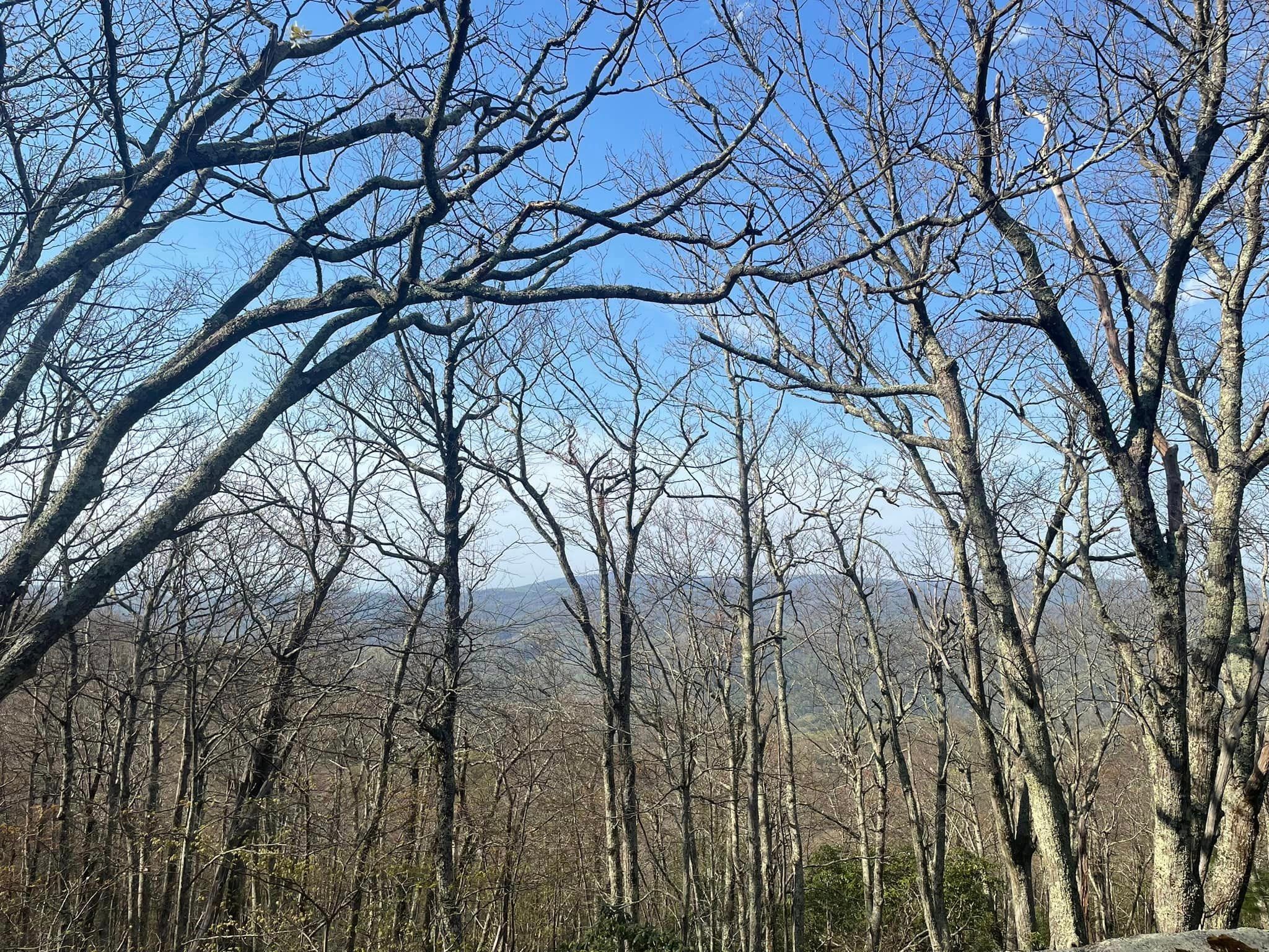
As we climbed up, the trees thinned out and we went from full blown spring to early spring; this meant the mountains all around were visible through the trees.
About .5 miles from the end, the trail offers a lovely little stopping point on the right - a flat campsite with views to the north (I think, don’t quote me on that). Shawn shouting “I found it!” from up ahead was a moment of joy, as I was out of gas. We flopped for a bit to enjoy the view and then pressed on. Eventually we could see Spy Rock; from a bit of a distance and on my tired legs it looked giant and foreboding. But as we came down off the ridge, I realized it would be an easy final walk to the 360 degree views we’d been promised.
We arrived well before sunset (thank you very much) and the campsite was gorgeous, flat, grassy and huge. Initially we were alone, but soon a pack of guys appeared. There was enough space for everyone; it didn’t feel crowded at all. I’d hauled two apples up there, and we enjoyed them and then set up our tents. I also enjoyed a little lie down while Shawn laughed at my tired self, and as the sun started to get lower we made the short jaunt up to the top of Spy Rock.
Oh my.

It was magical up there. Windy but not cold, views of the Blue Ridge Mountains and more all around us. The rocks were not the smooth comfy type; they were a bit uncomfortable but that didn’t stop us from sprawling out. Shawn trekked back down for our dinner fixings. My little MSR Pocket Rocket stove held up even in the wind, so we enjoyed hot food as the sun went down. Slowly the other people departed and it was just us two as the night darkened. Shawn got out his tripod and we had some fun taking star photos, though even out there we weren’t in dark sky country.**
I was excited for the rare chance to sleep without the rainfly on my tent, and enjoyed hearing the wind whistling through the trees as we turned in for the night. Per usual, I didn’t get much sleep thanks to allergies but hey, at least I was awake for sunrise. Shawn went back up Spy Rock but I was content to stay at camp and watch the sky get fiery and the sunlight filter through the trees.
What goes up must come down, and that includes backpackers. It was a gorgeous morning to be out in the woods and I love me some downhill, so it was a pleasant trip back. We took an alternate route back to the Crabtree Meadows parking lot, which added some up and down on the AT but was quite fun, and then it was down the Crabtree Falls trail, me watching my feet carefully since I’d rolled my ankle the day before. I even saw some kind of rattling snake on the way down, but my phone camera had malfunctioned so you’ll have to take my word for it.
All told, we did about 14 miles, gained about 3500 feet in elevation, and had a marvelous time. We met a few AT thru hikers along the way but otherwise saw virtually no one on the way up; the benefit of doing this hike on a weekday. If you are in the Crabtree Falls area and want a nice little challenge of a hike and a wonderful camping option, this is the hike for you! Highly recommend.
PS: Just don’t forget to fill up on water as there are no water sources after Crabtree Meadows.
*This tactic of having the faster hiker go first only works if the faster hiker isn’t a jerk, and is willing to wait for the slower hiker to catch up at occasional intervals, and doesn’t do what I call the F-you stop; ie, the fast hiker waits for the slower hiker to get there, then takes off again as soon as they do. If you are a fast hiker and you do this, just know that you are not earning any points with your slower friends.
**I realize now why it took so long to post this entry. It’s because I was hoping Shawn would share his pictures, because he took more than I did. But…it’s more than a year later, and do you see any star pics? Yeah, nope. Some times I have to cut my losses :)
Love this recap. Boo to F-you breaks. Yay for accepting help!